


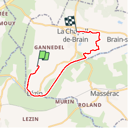

14.3 km | 16.3 km-effort


User


FREE GPS app for hiking
 SityTrail
IGN / Geographical institutes
SityTrail World
The world is yours!
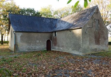
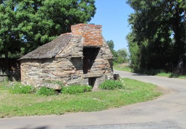
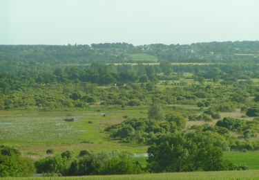
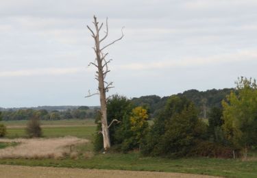
Trail Walking of 9.5 km to be discovered at Brittany, Ille-et-Vilaine, La Chapelle-de-Brain. This trail is proposed by GDupriez.
On foot

Walking
Cycle
Walking

Walking

Walking

Walking
Walking

Road bike